SAILING WEATHER SCHOOL (PART1) - WHAT YOU REALLY NEED TO KNOW ABOUT WEATHER!
The next Sailing Weather School (Part 1) will be held on Saturday 7th February 2009. I have had a couple of cancellations, so I have two places remaining on this one-day course.
Whether you are a new to sailing, or an experienced yachty, you will find Weather School fascinating. My aim is get you into the mind of a forecaster and show you why the weather works, building your confidence in making your own predictions and helping you to make sense of the plethora of weather information available on the internet. The cost of the full day course is £115 (inc VAT) and this includes lunch and refreshments throughout the course. For more information or to book online see http://www.weatherschool.co.uk" onclick="window.open(this.href);return false;
************************************************************************
Hello again,
The pattern of unsettled weather continues, typical of a British winter. Low pressure will be dominating through the weekend and this will be bringing some spells of wet and windy weather. The jet stream is over or to the south of the country over the coming days helping the weather remain unsettled.
Forecasts are updated at http://www.weatherweb.TV and can be viewed 24-hours a day.
Onto the weekend forecast though, and if you know anyone who’d like to receive this email each week just tell them to send a request to join to sailingweather-subscribe@weatherweb.net
Best wishes,
Simon
WEEKEND WEATHER FORECAST
Issued: 1000 Thursday 22nd January 2009
SATURDAY:
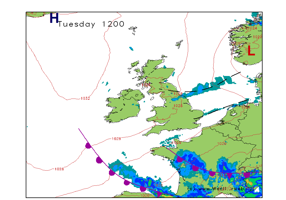
A ridge of high pressure building through the country on Saturday as low pressure clears into the North Sea. A further area of low pressure is developing west of Ireland through the day, with fronts then spreading eastwards throughout the whole of the country overnight.
Some morning showers to contend with over eastern and southern parts of England, and perhaps some outbreaks of rain in northwest Scotland too. Western coasts of Wales and southwest England also experiencing a few showers, but these should be scattered.
As the ridge of high pressure builds in, the showers will be fading away and most of the country should then have a fair afternoon. There will be some sunny spells for most and it should be stay dry.
Thicker cloud may move into southwest Ireland later, associated with the warm front and bringing rain here by evening.
Winds will be W 20-25 (F5-F6) at first in the south east, but then more generally W 15kt (F4-F5) as the ridge builds, backing SW 10-12kt (F3) as it moves east and then increasing S 20-30 (F6_F7) over southern Ireland later. W 5-10kt (F3) through Scotland, backing through the day.
SUNDAY:
A complex area of low pressure through Ireland and the west of Scotland today, as fronts sweep north and east through the country. Showery troughs will be returning to the south and southwest in the afternoon as a shallow area of low pressure swings in.
Heavy periods of rain across Ireland and southern Scotland, the rain clearing eastern England around midday. It will then become brighter and drier for a time over most of England, Wales and southern Ireland. However, heavy showers will return through southern Ireland in the morning, these reaching southern Wales and southwest England in the afternoon and turning thundery with hail at times,
For southern Scotland the day is going to be wet as the occluded front gets stuck overhead. Northern parts of Scotland should be drier and brighter with a few sunny spell here.
Winds will become SW 15-20 (F5) over England and Wales, before increasing to a SW 20-25 gust 35 (F6 gust F8) over southwest England later. Mainly E-NE 15-20kt (F5) across Scotland.
***ends***


