Phew! What a day, and it isn’t going to get any better either!
Onto the weekend forecast, and if you know anyone who’d like to receive this email each week just tell them to send a request to join to sailingweather-subscribe@weatherweb.net
Best wishes,
Simon
WEEKEND WEATHER FORECAST
Issued: 1300 Thursday 5th February 2009
SATURDAY:
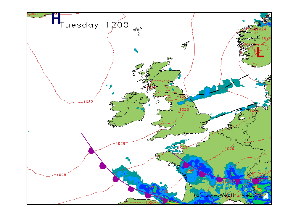
Low pressure is going to be in the North Sea bringing an Arctic maritime air mass through the whole of the British Isles. A ridge of high pressure is going to be building into the west though as troughs move southeastwards through the country I the northwesterly flow.
There will be snow showers around north, western and eastern coasts of the country today. A few of these area going to be heavy and prolonged, especially up to the middle of the day. East Scotland, northeast England and the Irish Sea most prone to these. For more inland areas the day should be fair with some sunny spells here. The best of these through the southern Midlands and southeast England.
Ireland is likely to be fair as high pressure builds through here, bringing fair conditions although cloud will be increasing from the west later.
Winds will be mainly N-NW 20-25kt (F5-F6) but they could touch 30 (F7) through the Irish Sea and along eastern coasts.
SUNDAY:
A ridge of high pressure builds eastwards through this morning, although the far northeast of Scotland will still be under the influence of sufficiently unstable air to cause a few showers.
At the same time an occluded front will be moving eastwards through Ireland, reaching the east coast and Irish Sea in the early afternoon.
Northeastern Scotland could have a few wintry showers but for most of the country the day is going to be fair with some good spells of sunshine and light winds.
However, the occluded front will be bringing rain, possibly preceded by snow through Ireland and this will be into the Irish Sea, Wales and southwest England by early afternoon bringing wet weather here. As the rain crosses northwest England and the Midlands it may well start as snow, but should then turn back to rain. Much of England and Wales as well as Northern Ireland end the day wet.
We need to watch Northern Ireland and northern England as the potential for a significant snowfall here is a real possibility.
Over Scotland conditions should stay dry and the snow showers should fade from the northeast.
Winds will be W 10-15 (F4) ahead of the front, then SE 20 (F5) ahead of it, becoming W 15-20 (F5) as it passes.
***ends***


