WEATHERLIVE – SPEAK TO OUR FORECASTERS
This service is available between 8am and 6pm everyday of the year. Just call and talk live to our forecasters for the very latest weather forecast specifically tailored for you. We aim to keep call times to a minimum with each call lasting approximately 2 to 3 minutes.
Weatherlive is available on 0906 515 0046.
Calls cost £1.50 per minute from landlines, some mobile rates may vary.
************************************************************************
Hello again,
Well my Climate Change musing certainly got many of you thinking yesterday, some very good points made. Sorry I can’t forward them all to you, but I can create a list where you can discuss such issues if enough of you want too?
Thanks also to those of you who asked about my book, The Pocket Weather Forecaster, it will be out very soon.
Weatherweb.TV will have forecasts updated throughout the weekend and don’t forget to look at the new videos I have put onto the Learning Channel.
Onto the weekend forecast though, and if you know anyone who’d like to receive this email each week just tell them to send a request to join to aviationweather-subscribe@weatherweb.net
Best wishes,
Simon
WEEKEND WEATHER FORECAST
Issued: 1100 Thursday 23rd October 2008
SATURDAY:
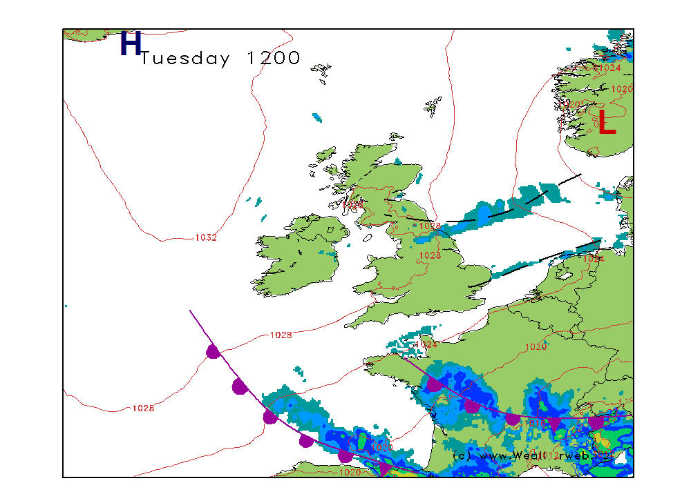
Low pressure passes to the north of Scotland on Saturday. A series of fronts move eastwards too, with a strong southwest flow affecting much of the country. Pressure remains higher to the south of the country throughout the day.
A day of periods of rain across many northern and western areas. It is going to be windy here too, with those winds to gale force on western coasts. The heaviest of the rain is likely through western and northern Scotland as well as parts of northwest England.
For much of the Midlands and southern England the day is likely to be dry, although breezy. There will be plenty of cloud around, but these should break in places, especially through East Anglia allowing a few brief bright spells to come through.
Winds will be SW 16-24kt (F5-F6) in the south, but SW 30-40kt (F7-F8) and gusting higher than this at times in the north.
SUNDAY:
The cold front over the far southeast is going to be slowly clearing away. Following will be a much fresh polar maritime air mass which will be rather unstable, introducing showers to many northern and western areas. A general rise in pressure is expected to the west.
So early morning rain, still some of it heavy over parts of southern and southeast England will be clearing away towards the middle of the day. Winds will still be strong within the frontal zone with strong gusts.
As the front clears much brighter weather will be following, bringing sunny spells and much drier conditions for most of us. There will be some showers, most of these through Scotland and Northern Ireland as well as parts of northwest England.
Winds will be SW 20-25kt (F5-F6) ahead of the cold front, becoming WNW-NW 15-20kt (F5) behind it but NE 20-28kt (F6-F7) over northeast Scotland.
**ends**


The Sailor's Book of the Weather by Simon Keeling is available now from http://eu.wiley.com/WileyCDA/WileyTitle ... 98032.html
Simon Keeling MSc (Appld. Meteorology & Climatology), FRMetS
Weather Consultancy Services
The Weather Centre, 188 Common Road, Wombourne,
Staffordshire, England. WV5 0LT.
Tel: (01902) 895252
http://www.weatherweb.net
http://www.weatherschool.co.uk
http://www.simonkeeling.co.uk

