Back to basics - Clearance under bridges
Posted: Thu Mar 02, 2017 7:18 pm
I fancy sailing up Loch Etive again this year but I'm unclear if Dogdays will fit under Connel Bridge (charted clearance 14m) and Bonawe electric cable (charted 13m). The air draft is 15.3m.
The charted clearance is above Highest Astronomical Tide. I can readily find MHWS for Oban (4.0m), Connel (3.7m) and Bonawe (2.0m) but I don't think that's the figure I need.
Can anyone point to a source of HAT?
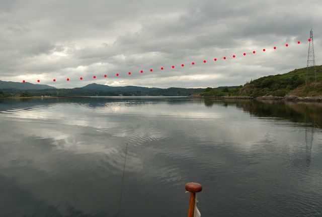
I know the wires at Bonawe are much higher at the north side than south; is the clearance figure for the lowest part (where the water is quite shallow)?
I took a long length of rope onto the bridge this afternoon near slack water (2h after LW Oban; it's a Mean Spring Tide today). According to Absolute Tides, the height at 16:15 was 1.3m at Oban and 1.2m at Connel; my paper calculation using Reeds graph got 1.5m at Oban. So in theory, using MHWS instead of HAT, the clearance should be 14+4-1.3 =16.7 according to Oban or 14+3.7-1.2 =16.5m according to Connel. The measurement (surprisingly challenging to get the bottom of the bridge) was 19.0m.
Which suggests the hydrographer is very pessimistic or HAT is 2.5m higher than MHWS or I did something wrong in measuring or calculating.
Any informed observations?
(I don't plan to repeat the rope trick at Bonawe!)
Regards,
Derek
edit I just found that HAT is listed at the bottom of each page of tide tables in Reeds. So I have the data fro Oban: HAT is 4.5m so the Oban calculation now gives 17.2m clearance at 16:15 today but I can't get the information for Connel (I can guess it's not much different from Oban) or Bonawe which is much more challenging.
The charted clearance is above Highest Astronomical Tide. I can readily find MHWS for Oban (4.0m), Connel (3.7m) and Bonawe (2.0m) but I don't think that's the figure I need.
Can anyone point to a source of HAT?
I know the wires at Bonawe are much higher at the north side than south; is the clearance figure for the lowest part (where the water is quite shallow)?
I took a long length of rope onto the bridge this afternoon near slack water (2h after LW Oban; it's a Mean Spring Tide today). According to Absolute Tides, the height at 16:15 was 1.3m at Oban and 1.2m at Connel; my paper calculation using Reeds graph got 1.5m at Oban. So in theory, using MHWS instead of HAT, the clearance should be 14+4-1.3 =16.7 according to Oban or 14+3.7-1.2 =16.5m according to Connel. The measurement (surprisingly challenging to get the bottom of the bridge) was 19.0m.
Which suggests the hydrographer is very pessimistic or HAT is 2.5m higher than MHWS or I did something wrong in measuring or calculating.
Any informed observations?
(I don't plan to repeat the rope trick at Bonawe!)
Regards,
Derek
edit I just found that HAT is listed at the bottom of each page of tide tables in Reeds. So I have the data fro Oban: HAT is 4.5m so the Oban calculation now gives 17.2m clearance at 16:15 today but I can't get the information for Connel (I can guess it's not much different from Oban) or Bonawe which is much more challenging.